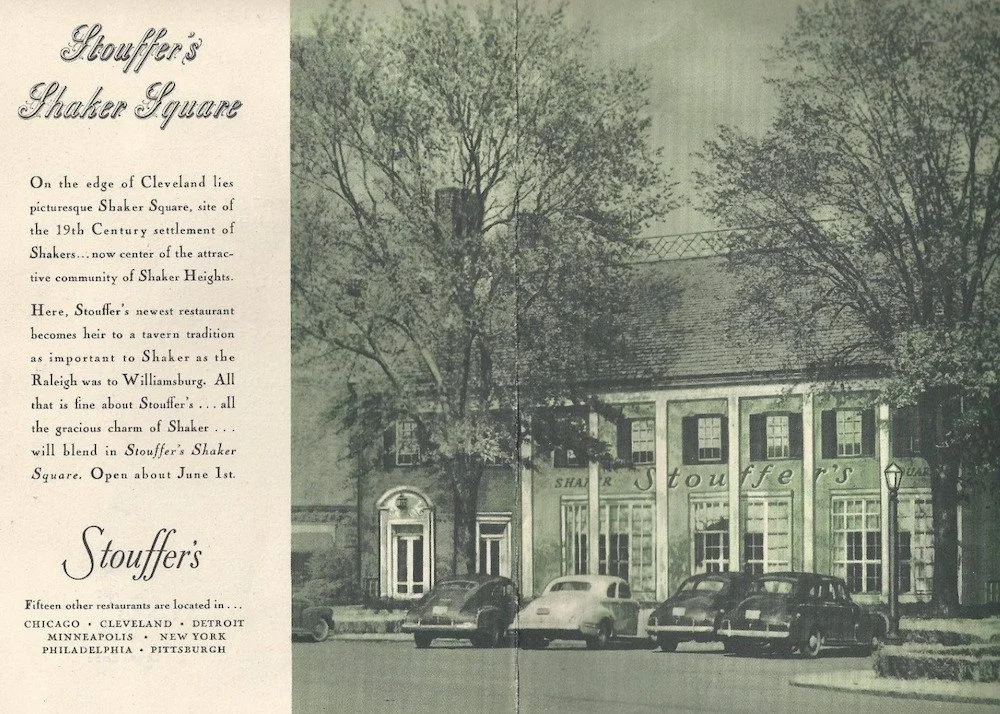
Rocky River Historical 1/26/26 Rocky River Historical 1/26/26 The Blizzard of ’78: Snow, Stories, and Shoveling Memories Read More Heather McCrea 7/22/25 Heather McCrea 7/22/25 Bradstreet’s Disaster: Rocky River’s Most Historic (and Unlucky) Moment Read More Heather McCrea 7/21/25 Heather McCrea 7/21/25 A Look Back at Rocky River’s Beginnings Read More Heather McCrea 7/4/25 Heather McCrea 7/4/25 Fourth of July Then & Now: A Rocky River Celebration Read More Rocky River Historical 3/3/24 Rocky River Historical 3/3/24 Vernon B. Stouffer 1901-1974 Read More Rocky River Historical 2/25/24 Rocky River Historical 2/25/24 Herb Score, 1933-2008 Read More Rocky River Historical 2/18/24 Rocky River Historical 2/18/24 Szabo Shoes: 99 Years Read More Rocky River Historical 2/11/24 Rocky River Historical 2/11/24 Eh? Almost Rocky River, Quebec? Read More Rocky River Historical 2/4/24 Rocky River Historical 2/4/24 The Devonian Period and Dunkleosteus Terrelli Read More Rocky River Historical 1/24/24 Rocky River Historical 1/24/24 1885 Pump Organ Read More Rocky River Historical 11/30/23 Rocky River Historical 11/30/23 WINTER HOLIDAY SCENE c. 1983 Old Detroit Bridge with Westlake Hotel Read More Rocky River Historical 11/30/23 Rocky River Historical 11/30/23 Party Hearty in Rocky River circa 1957 Read More Marissa Hamm 1/16/23 Marissa Hamm 1/16/23 Grant-Funded Project to Support our Collections! The RRHS Archives Grant Project Read More Heather McCrea 5/27/22 Heather McCrea 5/27/22 ST. CHRISTOPHER PARISH COMMUNITY: A CENTENNIAL CELEBRATION Read More Heather McCrea 7/14/20 Heather McCrea 7/14/20 Grand Army of the Republic Highway…U.S. Route 6 Read More Heather McCrea 7/9/20 Heather McCrea 7/9/20 Charles M. Ingersoll Read More Heather McCrea 5/18/19 Heather McCrea 5/18/19 Lakewood Park Cemetery Gravestone Dedication Ceremony Read More Geof Pelaia 8/17/18 Geof Pelaia 8/17/18 Thank You for a Wonderful Picnic It all begins with an idea. Read More Geof Pelaia 12/5/17 Geof Pelaia 12/5/17 Rocky River Historical Society Celebrates 50 Years Read More Geof Pelaia 7/6/17 Geof Pelaia 7/6/17 Missing Links - The Keswick Golf Club Read More Older Posts
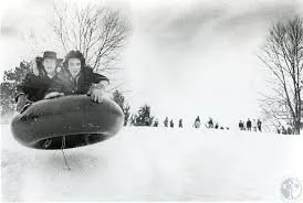
Rocky River Historical 1/26/26 Rocky River Historical 1/26/26 The Blizzard of ’78: Snow, Stories, and Shoveling Memories Read More
Heather McCrea 7/22/25 Heather McCrea 7/22/25 Bradstreet’s Disaster: Rocky River’s Most Historic (and Unlucky) Moment Read More
Heather McCrea 7/4/25 Heather McCrea 7/4/25 Fourth of July Then & Now: A Rocky River Celebration Read More
Rocky River Historical 2/11/24 Rocky River Historical 2/11/24 Eh? Almost Rocky River, Quebec? Read More
Rocky River Historical 2/4/24 Rocky River Historical 2/4/24 The Devonian Period and Dunkleosteus Terrelli Read More
Rocky River Historical 11/30/23 Rocky River Historical 11/30/23 WINTER HOLIDAY SCENE c. 1983 Old Detroit Bridge with Westlake Hotel Read More
Rocky River Historical 11/30/23 Rocky River Historical 11/30/23 Party Hearty in Rocky River circa 1957 Read More
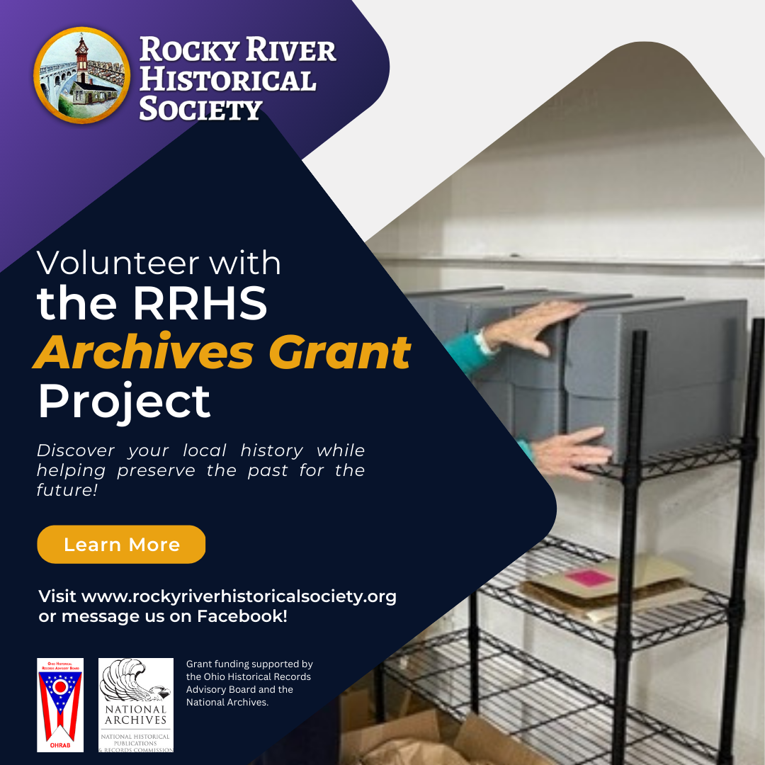
Marissa Hamm 1/16/23 Marissa Hamm 1/16/23 Grant-Funded Project to Support our Collections! The RRHS Archives Grant Project Read More
Heather McCrea 5/27/22 Heather McCrea 5/27/22 ST. CHRISTOPHER PARISH COMMUNITY: A CENTENNIAL CELEBRATION Read More
Heather McCrea 7/14/20 Heather McCrea 7/14/20 Grand Army of the Republic Highway…U.S. Route 6 Read More
Heather McCrea 5/18/19 Heather McCrea 5/18/19 Lakewood Park Cemetery Gravestone Dedication Ceremony Read More
Geof Pelaia 8/17/18 Geof Pelaia 8/17/18 Thank You for a Wonderful Picnic It all begins with an idea. Read More